
Sections
Highlight

Europa Press
Wednesday, 2 April 2025, 16:44
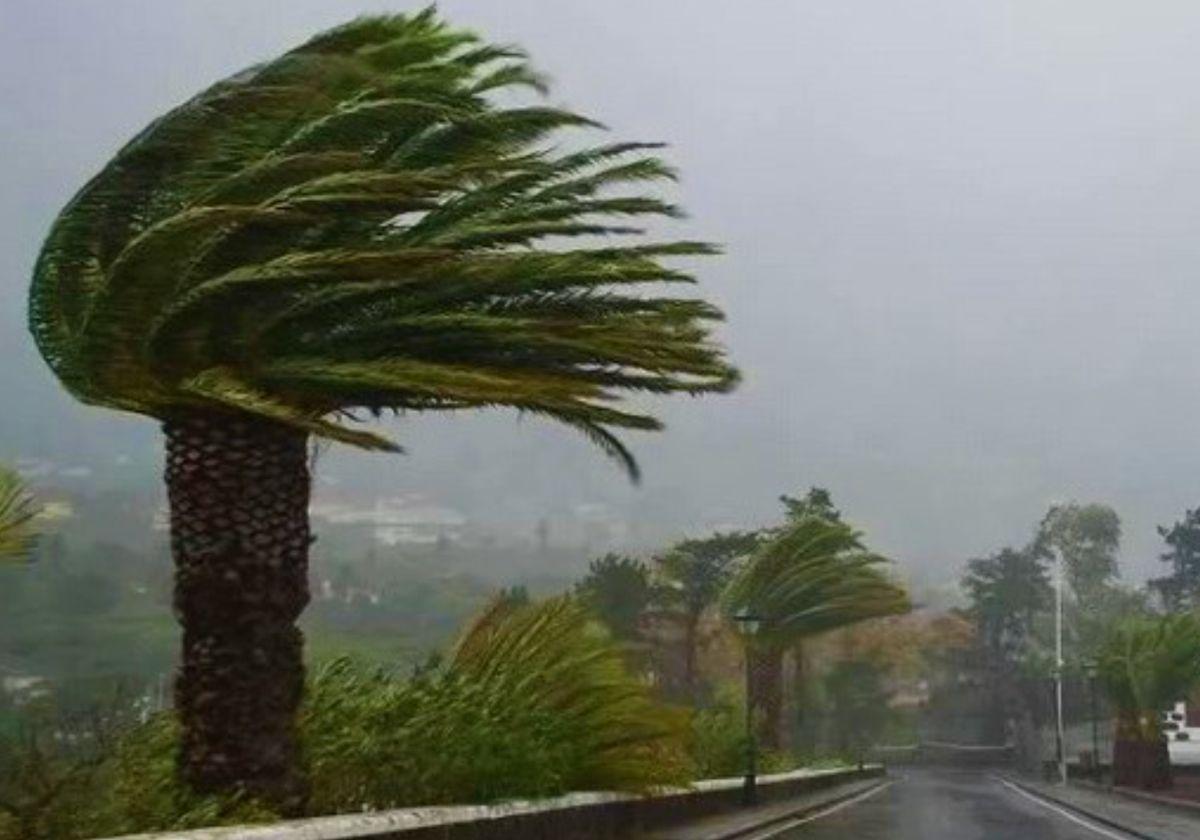
Storm Nuria, the fourteenth of great impact of the season, will bring very strong winds and bad sea conditions to the Spanish mainland and the Canary Islands from Thursday until Sunday, according to the spokesperson from Spain's state meteorological agency (Aemet), Rubén del Campo. In addition, there will be ups and downs in the temperature, which will drop in most of the country this Wednesday, but will reach 25C in Alicante and Murcia on Saturday. Tomorrow, Thursday, the state agency has activated a red alert in the Canary Islands, specifically in the east of the island of La Palma, where wind gusts of more than 130 kilometres per hour are expected (from 120km/h they are called hurricanes because they are those generated by a category 1 hurricane on the Saffir-Simpson scale). It will be in force between 5.00 and 17.00 (Canary Islands time). The rest of the islands will also be affected by the winds, but under lower-ranking weather warnings, amber or yellow, for gusts of 100 to 70 kilometres per hour.
Del Campo has warned that a storm will arrive this Wednesday, which will leave unstable weather, a different one to Nuria, which will begin to affect the country on Thursday. In addition, there will be humid air from the Mediterranean. Adding together both factors, rain and showers can be expected across large swathes of the country. In the afternoon, these showers and showers may be accompanied by heavy thunderstorms in large areas of the northern half of the country. The exception will be the southeast of the Spanish mainland, which will probably be excluded from the rains.
In addition, the passage of a front will also bring rainfall to the western Canary Islands, which could be especially heavy in Tenerife. As far as temperatures are concerned, they will drop throughout most of the country and will also fall considerably in northern and eastern areas, where they could drop by more than 8 to 10ºC with respect to Tuesday.
Storm Nuria will be in action on Thursday, giving rise to very strong winds and bad sea conditions in the Canary Islands, as well as heavy rainfall on the more mountainous islands. According to the Aemet spokesperson Nuria will also leave significant rainfall, especially in the interior of the Spanish mainland. By region, rainfall will be less likely in Galicia and the Mediterranean area and there will be very strong winds in the northern third of the country.
It will also snow from an altitude of 1,500 metres upwards. On the other hand, temperatures will fall in inland areas of the peninsula and will rise in the Cantabrian and the Mediterranean, and will exceed 25C in points in the southeast, such as Murcia.
Snow levels will rise to 1,800 to 2,000m on Friday. At the same time, temperatures will also rise and Nuria will continue to produce intense gusts of wind in the northern third of the country, as well as widespread, locally stormy rainfall. According to Del Campo, these will be less likely on the Cantabrian coast and in the Mediterranean area, and abundant in western Andalucía, Extremadura and especially in the surroundings of the Central System. Meanwhile, in the Canary Islands, the rainfall will decrease.
The instability will decrease on Saturday, although in the early morning there will still be precipitation, especially in the northern third and in mountainous areas of the rest of the mainland, which will persist more in the Pyrenees and the Central System. The Aemet spokesperson said that there will be rain in the western islands of the Canary Islands due to a new front. In general terms, temperatures will fall except in the Mediterranean, where they will rise. In parts of Alicante and Murcia, temperatures will exceed 25C.
Del Campo warns that the weather uncertainty will increase greatly from Sunday onwards, but he anticipates that during that day there could be rain again in areas of the southwest of the country. Temperatures would begin to rise and could continue to do so during the following days.
Weather website Eltiempo.es added that the most important accumulations of rain until Saturday are expected in the west of the Central System. It explained that the weather models point to more than 100mm in the north of Cáceres and south of Ávila; between 50 and 60 mm in Galicia, western Andalucía and parts of the Iberian System; and between 20 and 30mm in the rest of the country.
The portal said that, although storm Nuria will fade away on Saturday, the cold air at high altitude that accompanies it will continue over the north of the Spanish mainland This will mean that there will still be showers during the first half of the day in Galicia, Asturias, Cantabria, the Basque Country, the whole of the Pyrenees, the north of the Iberian Mountains, Castilla y León and the central system. In the afternoon, they will gradually diminish.
Looking ahead to Sunday, Eltiempo.es forecasts that a new storm will approach from the Atlantic and an associated front will enter from the west of the peninsula. As a result, this new front will leave showers, although weaker, in Galicia, Extremadura and western Andalucía. In this sense, afternoon showers are not ruled out in the Cantabrian Mountains, Pyrenees, Central System and south of the Iberian Mountains, as well as other mountain ranges in the east of the country.
Publicidad
Publicidad
Publicidad
Publicidad
Esta funcionalidad es exclusiva para registrados.
Reporta un error en esta noticia

Debido a un error no hemos podido dar de alta tu suscripción.
Por favor, ponte en contacto con Atención al Cliente.

¡Bienvenido a SURINENGLISH!

Tu suscripción con Google se ha realizado correctamente, pero ya tenías otra suscripción activa en SURINENGLISH.
Déjanos tus datos y nos pondremos en contacto contigo para analizar tu caso

¡Tu suscripción con Google se ha realizado correctamente!
La compra se ha asociado al siguiente email
Comentar es una ventaja exclusiva para registrados
¿Ya eres registrado?
Inicia sesiónNecesitas ser suscriptor para poder votar.