Weather forecast
Sections
Highlight
Europa Press
Madrid
Monday, 28 August 2023, 10:28
Spain's state meteorological agency (Aemet) has predicted that this week, which marks the start of autumn weather, will be colder than normal for the time of year in most parts of the country.
Although temperatures will rise during the first few days, the forecast is for it to cool down again by the weekend.
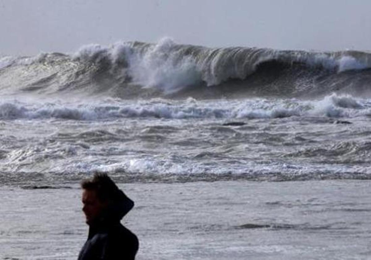
In addition, Aemet also anticipates that it will be a rainy week in the extreme north of the mainland. Rainfall will extend to other points in the north and east of the country and the Balearic Islands, and during the last days of the week it is possible that it will rain in many areas of the country.
This Monday, in particular, in the far north of the mainland, unstable weather is expected with cloudy or overcast skies and rainfall affecting the north of Galicia and the Cantabrian areas.
Rainfall will be heavier in the eastern Cantabrian Sea area, with the possibility of persistent showers. In the rest of the northern third of the country, occasional scattered showers are not ruled out by Aemet.
In the Balearic Islands, cloudy intervals are expected, with scattered showers and thunderstorms, tending to diminish in the middle hours of the day and their return as the afternoon progresses, without ruling them out the Catalan coast.
Minimum temperatures will increase in the inland northwest and in the extreme southwest of the mainland, decreasing in the southeast corner, north of Catalonia and the Canary Islands. There will be little change in the rest.
Maximum temperatures will decrease on the southeast, Alboran and Canary coasts, with little change in the Balearic Islands and the far north, and increase in the rest.
A maximum of only 32 to 34C may be reached in the Guadalquivir valley and minimum temperatures will generally not drop below 24 to 26 degrees - only in coastal areas of the southeast and the Balearic Islands.
Due to the presence of a storm in the western Mediterranean, gusts of wind may be strong or very strong in the Balearic Islands, Pyrenees and the area around the lower Ebro river areas.
There will also be some intervals of strong winds in the eastern Cantabrian Sea, variables in the Strait of Gibraltar and Alboran and trade winds with strong intervals and very strong gusts in the Canary Islands.
Publicidad
Publicidad
Publicidad
Publicidad
Esta funcionalidad es exclusiva para registrados.
Reporta un error en esta noticia

Debido a un error no hemos podido dar de alta tu suscripción.
Por favor, ponte en contacto con Atención al Cliente.
¡Bienvenido a SURINENGLISH!
Tu suscripción con Google se ha realizado correctamente, pero ya tenías otra suscripción activa en SURINENGLISH.
Déjanos tus datos y nos pondremos en contacto contigo para analizar tu caso
¡Tu suscripción con Google se ha realizado correctamente!
La compra se ha asociado al siguiente email
Comentar es una ventaja exclusiva para registrados
¿Ya eres registrado?
Inicia sesiónNecesitas ser suscriptor para poder votar.