Road safety
Sections
Highlight
Beatriz L. Echazarreta
Madrid
Tuesday, 25 March 2025, 22:57
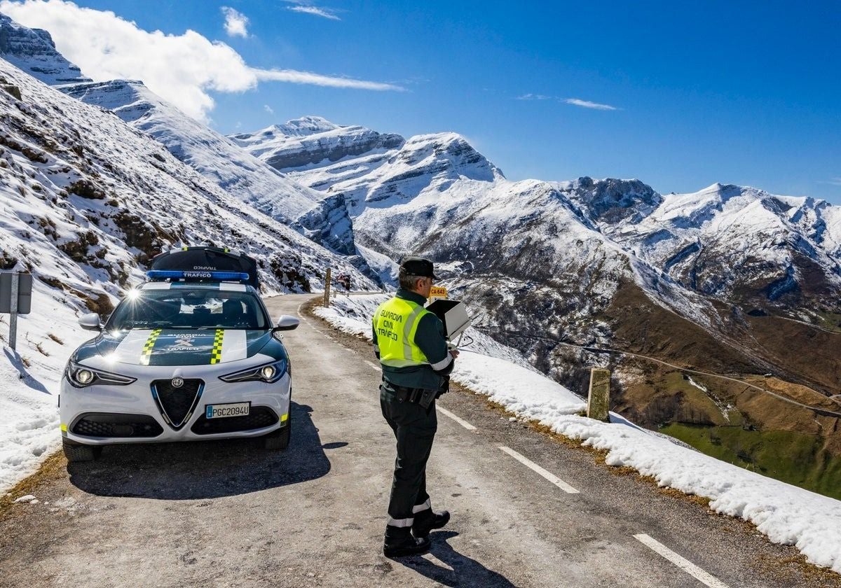
The GPS system that guided the four young men from Madrid who lost their lives last week in the Lunada pass (Cantabria) showed the shortest route to reach their destination. We know that the group of twenty-somethings had gone to spend the weekend in a rural house, that they were driving an Audi A3 and that they plunged down a road without a barrier which, if it snows, is usually closed to traffic.
At the time of the accident it was already snowing, but the road was still open and the GPS system recommended it. According to local residents in the municipality of Soba, the section of the CA-643 where the accident occurred is located, an off-road vehicle had plunged down a nearby slope in 2022. Was that the best route? Apparently not.
However, this tragic accident could serve to raise awareness of how technology is changing driving habits and not necessarily for the better. According to ABC newspaper, which consulted the Directorate-General of Traffic (DGT), "It is common for many people to blindly trust the navigator, but it is not advisable. The ideal is to study the route and plan the trip. Even more so in bad weather and without knowing the road," the DGT recommends.
Navigators have evolved over the last few years: Google Maps and Waze (also owned by Google) are free applications that can be used on mobile phones without the need for the vehicle to have a navigator installed. In fact, the purchase of a TomTom-style in-car GPS system now seems outdated.
Today's systems do not tend to feature major problems of road network obsolescence, as they did in the past, but they still do not incorporate reliable weather data. For example, during the worst days of the Valencia 'Dana' storms these applications still set routes through flooded areas or streets ravaged by the floods. Many of these navigation systems work on the basis of data shared by the users themselves.
If three drivers report that an accident has happened at one point on the motorway, the fourth driver travelling in the same place will be alerted. On the other hand, they receive data on the speed at which their users are travelling, so they can determine whether there is a traffic jam or whether traffic is flowing smoothly. The problem arises in less busy areas where the application lacks information from other users.
Aesleme, an association for road safety education, highlights the problems of people using these apps. "They don't know the street maps of the big cities, they rely on GPS and often end up going in the wrong direction or getting lost or driving around in circles." Mar Cogollos, spokesperson for Aesleme, points out that navigators can also "embolden" inexperienced drivers who "in the days of physical maps" would not dare to take the car in certain situations. She also points out that screens can become, per se, a great source of distraction and that it is common for many drivers to use these applications "to avoid fines and to be able to locate police checkpoints, but not to choose the safest route".
According to the European Mobility Observatory of the FIA International Automobile Federation (FIA), the vast majority of Spaniards (97%) have a navigation application on their mobile phones, compared to 83% in the rest of Europe. Ramón Ledesma, advisor at PONS Mobility, said that the widespread use of GPS could be creating a "false sense of generalised security. Technology should be a support, but never a substitute for the driver's judgement," he argues. Industry, he says, may be prioritising energy efficiency or emissions reduction, but, in some cases, this leads to less safe secondary routes. "Navigation systems should prioritise road safety criteria in their algorithms, prioritising well-marked roads and minimising distractions at the wheel," said Ledesma.
ABC asked Google whether it is considering incorporating data from the DGT or Aemet (Spain's state weather agency) into its applications, or whether they are already being integrated, but the technology giant declined to participate in the report. In any case, the systems can be improved. According to the International Road Transport Association (Astic), although the signal from satellites is the same for cars and trucks, GPS devices are often much more sophisticated in the latter. For example, the navigation system of trucks transporting dangerous goods are adapted according to the RIMP (Red de Itinerarios de Mercancías Peligrosas del Ministerio de Transportes).
"Not even a vehicle with artificial intelligence and cameras can easily obtain information from other vehicles," said Marcos U. Pérez, an engineer and expert in road accident risk. Even in the midst of the technological revolution, the driver's seven senses are still the most reliable navigator.
Publicidad
Publicidad
Publicidad
Publicidad
Esta funcionalidad es exclusiva para registrados.
Reporta un error en esta noticia

Debido a un error no hemos podido dar de alta tu suscripción.
Por favor, ponte en contacto con Atención al Cliente.
¡Bienvenido a SURINENGLISH!
Tu suscripción con Google se ha realizado correctamente, pero ya tenías otra suscripción activa en SURINENGLISH.
Déjanos tus datos y nos pondremos en contacto contigo para analizar tu caso
¡Tu suscripción con Google se ha realizado correctamente!
La compra se ha asociado al siguiente email
Comentar es una ventaja exclusiva para registrados
¿Ya eres registrado?
Inicia sesiónNecesitas ser suscriptor para poder votar.