Weather
Sections
Highlight
Virginia López Esplá
Madrid
Monday, 21 April 2025, 09:54
Holy Week has come to an end, although some regions of Spain continue to celebrate this Easter Monday. The week of passion developed with unstable weather across most of the Spanish mainland.
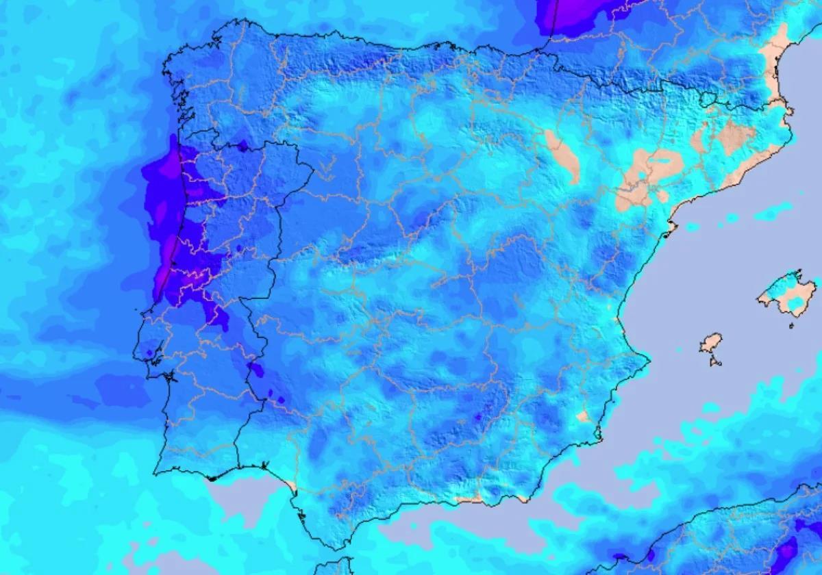
Last week left many images of umbrellas and rain-soaked processions in cities like Madrid and this week will again start with showers and storms, although Aemet is already forecasting the date on which an anticyclone will return and, with it, the warm temperatures will return to Spain.
However, for now, the state meteorological agency has warned of the arrival of a front that will bring rain and storms to parts of the Spanish mainland this Monday and Tuesday. It will be from Wednesday onwards when the anticyclone will dominate the weather.
⛈️ El paso de un frente dejará lluvias y tormentas en la Península y Baleares el lunes y martes. Algunas serán intensas.
— AEMET (@AEMET_Esp) April 20, 2025
🌞 A partir del miércoles dominará el anticiclón. Las precipitaciones quedarán restringidas al tercio norte y subirán las temperaturas. pic.twitter.com/dYSRMJR4e7
This 21 April the anticyclone will start to gain prominence and precipitation will start to decrease, but a new Atlantic front will leave rain in the north of the Spanish mainland and in areas of the western half from Galicia.
In the north of Catalonia there will also be likely afternoon showers and in the Canary Islands there will be weak precipitation in the north of the mountainous islands. The skies will be cloudy in most of the country, with light rainfall affecting Galicia and the Cantabrian Sea areas, which will spread throughout the day to most of the rest of the northwest half of the mainland and may reach the southeast.
The mercury will rise across most of the mainland and the Balearic Islands and notably in the southeast. Minimum temperatures will also increase and no changes are expected in the Canary Islands.
On Tuesday the showers and thunderstorms may be locally strong in northeastern areas of the mainland close to the Mediterranean. In the northwest and the Balearic Islands, instability will persist with thunderstorms that may be locally strong.
Snowfall is also possible in the northern mountains at altitudes between 1,500 and 2,000 metres.
In general, in the rest of the Iberian Peninsula, cloudy skies will open up under the Azores anticyclone. Likewise, maximum temperatures will tend to increase in the northwest quadrant and to decrease in the northeast. In the rest of the Spanish mainland there will be few changes in terms of temperatures and minimum temperatures will increase across the board except in Galicia and the Cantabrian Sea.
After two days of instability, by the middle of the week the Azores anticyclone will completely cover the mainland, although some weak precipitation may still be seen in the far north.
This day will see an increase in maximum temperatures throughout the Iberian Peninsula, being noticeable in the Central and Iberian systems. On the islands, thermometers will remain stable.
Highs could reach 20C degrees in the east and 25C degrees in southern areas such as Cordoba, Cadiz and Granada in the Andalucía region. In the north of Spain, temperatures will be milder at around 18 degrees. There may be a slight drop in minimum temperatures.
Publicidad
Publicidad
Publicidad
Publicidad
Esta funcionalidad es exclusiva para registrados.
Reporta un error en esta noticia

Debido a un error no hemos podido dar de alta tu suscripción.
Por favor, ponte en contacto con Atención al Cliente.
¡Bienvenido a SURINENGLISH!
Tu suscripción con Google se ha realizado correctamente, pero ya tenías otra suscripción activa en SURINENGLISH.
Déjanos tus datos y nos pondremos en contacto contigo para analizar tu caso
¡Tu suscripción con Google se ha realizado correctamente!
La compra se ha asociado al siguiente email
Comentar es una ventaja exclusiva para registrados
¿Ya eres registrado?
Inicia sesiónNecesitas ser suscriptor para poder votar.