Weather forecast
Sections
Highlight
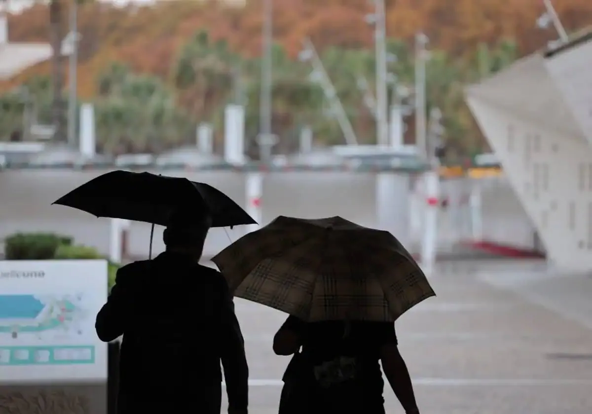
Malaga is experiencing changing weather patterns and contrasts this week. After several days with thermometers soaring to unseasonable highs (such the 23C degrees this Wednesday), people in the province are looking to the sky in the hope that the successive fronts that will cross the country in the next couple of days will bring an early Epiphany gift: the long-awaited rains.
According to the forecast of Spain's state weather agency (Aemet), at the moment, the probability of rain is 100 per cent in Estepona, inland towns such as Ronda or Antequera and areas on the eastern strip of the Costa del Sol, such as Rincón de la Victoria and Vélez-Málaga.
The question is, when? According to Aemet, the greatest chance of needing to open an umbrella will come from 6pm tomorrow (Thursday, 4 January) and will last until 12 noon on Friday. In Malaga city there is a 95 per cent chance of showers from 6pm on Thursday until the early hours of Friday morning, when it will drop to 55 per cent. From midday on the 5th the chance of rain disappears and is now 0%.
Therefore, on Friday, the Three Kings parades in the province should be rain-free but will be cold and windy. At the moment, Aemet forecasts that the mercury will not exceed 18C in Malaga city on 5 January. However, the real drop will be felt on Epiphany, when maximum temperatures of 15C and minimum of 9 degrees are expected in the city. In addition, from tomorrow, wind gusts of up to 30 kilometres per hour are expected in the province.
At the national level, this Wednesday the Atlantic cold front that entered the Spanish mainland yesterday through Galicia will advance to the southeast, which will leave rain in the interior of the country without reaching the Mediterranean area.
On Thursday 4 the cold front of the previous days will continue to leave precipitation in the southern half of the mainland, more intense in western Andalucía and less likely in the extreme southeast. On the other hand, the entry of a new cold front from the northwest accompanied by blasts of polar air will lead to rain in the northwestern third, which will probably spread to the rest of the mainland and the Balearic Islands on Friday, January 5, according to Aemet.
Winds are expected to be predominantly south-westerly or westerly on Thursday, turning north-westerly on Friday, with very strong gusts in the lower Ebro, south-east of the Iberian Peninsula and north-west of Almeria.
For the weekend, an arctic air mass is expected on Saturday 6 January (Epiphany), and Sunday 7 January. This weather phenomenon, which will result in a further drop in temperatures on both days, will be caused by an anticyclone over the British Isles and a storm in the Mediterranean Sea. Rainfall, according to Aemet, will be limited to the Cantabrian Sea and northeast Balearic Islands.
In the case of Malaga, the mercury will remain low during the first weekend of 2024, with values more typical of winter. Therefore, it will go from the 23C during the opening days of the year to the 15-18C maximum forecast for Saturday and Sunday. Lows will be around 9 degrees. The arctic air mass will be felt especially in inland areas such as Ronda and Antequera, where maximum temperatures of 10 to 12C and minimum temperatures of 0 degrees are expected.
Publicidad
Publicidad
Publicidad
Publicidad
Esta funcionalidad es exclusiva para registrados.
Reporta un error en esta noticia

Debido a un error no hemos podido dar de alta tu suscripción.
Por favor, ponte en contacto con Atención al Cliente.
¡Bienvenido a SURINENGLISH!
Tu suscripción con Google se ha realizado correctamente, pero ya tenías otra suscripción activa en SURINENGLISH.
Déjanos tus datos y nos pondremos en contacto contigo para analizar tu caso
¡Tu suscripción con Google se ha realizado correctamente!
La compra se ha asociado al siguiente email

Comentar es una ventaja exclusiva para registrados
¿Ya eres registrado?
Inicia sesiónNecesitas ser suscriptor para poder votar.