Sections
Highlight
IGNACIO LILLO
MALAGA.
Wednesday, 18 January 2023, 08:38
A blast of cold polar air, coming from the Arctic, will result in one the coldest days of the year in Malaga province, according to the director of the Aemet Meteorological Centre, Jesús Riesco.
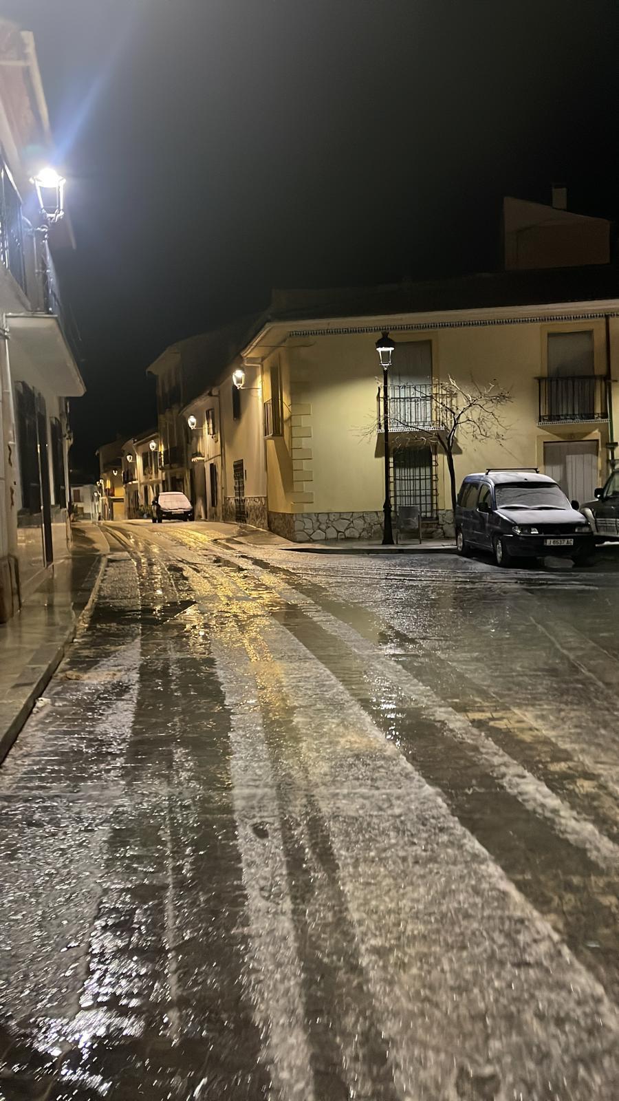
During the early hours of this Wednesday, 18 January, the cloudiness made the temperature drop less pronounced than expected, with a minimum of 10C in Malaga city and on the Costa del Sol, while the expected maximum will be only 14. During the first two weeks of January, the daytime values had been very mild, ranging from 18 to 20 degrees, so the drop will be up to six.

On Thursday, the situation will continue, with similar values, of 14-15 degrees during the day, although the minimum will drop again to 7. Inland, the cold will be felt much more intensely, with three degrees minimum and eight maximum in Antequera and Ronda. On Thursday there may be frost, with zero degrees and minus temperatures in some parts of the interior.
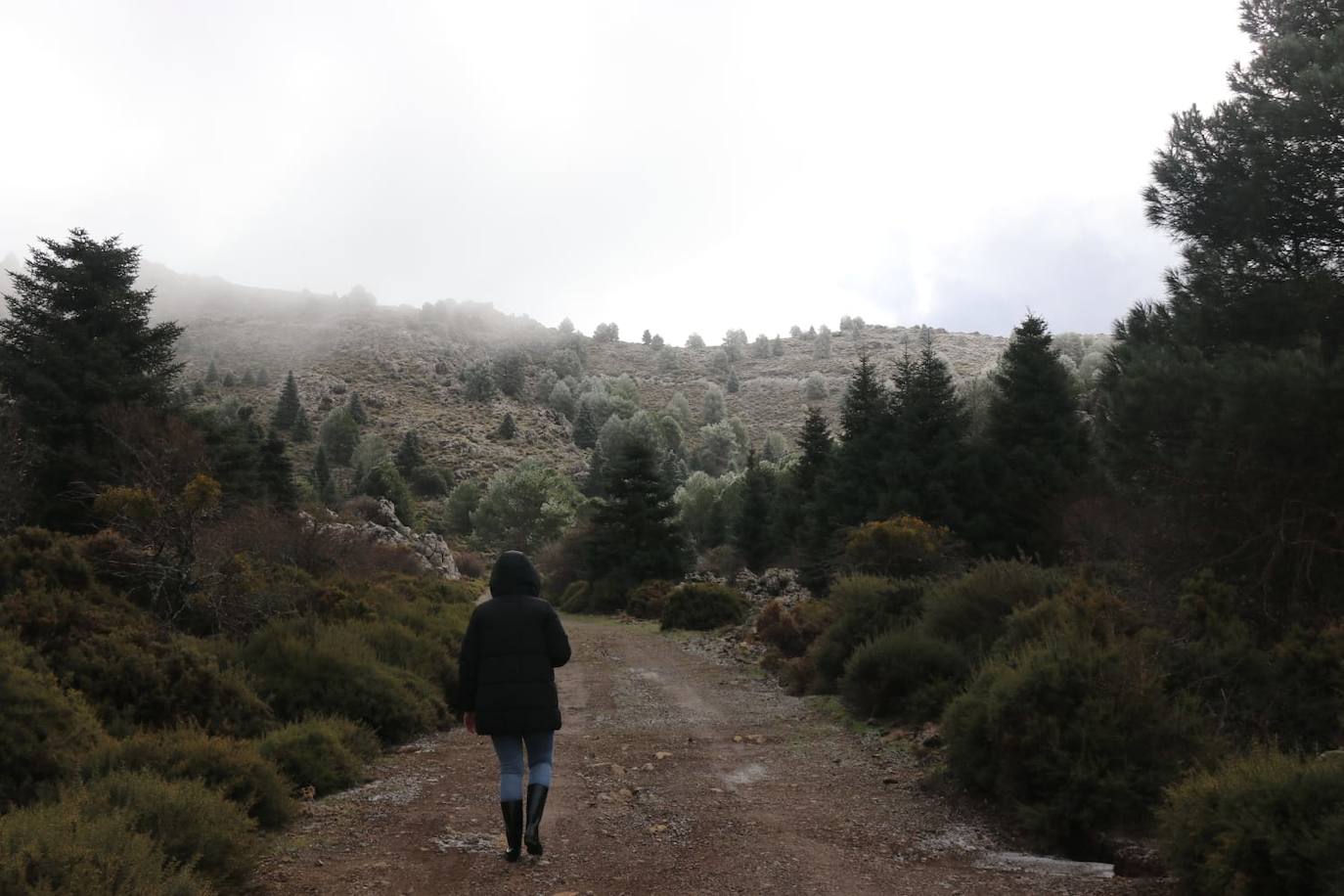
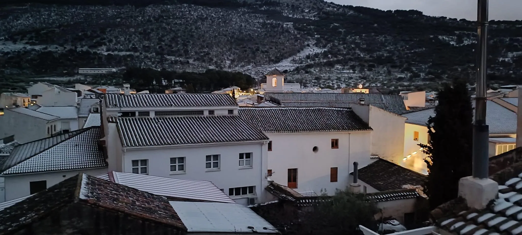
The meteorologist foresees a high probability that this weather episode will bring with it the first snowfalls of winter in the province. They are expected to be light and only at high altitudes, although on Thursday the snow level will drop to 800 to 1,000 metres. "This week it will snow in the interior of the province," says Riesco.
The probability is highest in the Sierra de las Nieves and the Tejeda, Almijara and Alhama, in the upper Axarquía, most likely during the early hours of Wednesday. Also in Las Pedrizas there could be a fine, white blanket.
Meanwhile, Aemet has activated warnings for strong winds across a good part of the province. A yellow weather alert warns of maximum gusts of 70 km/h, from the west; as well as coastal phenomena, with a westerly wind with intervals of 50 to 60 km/h (force 7).
However, this situation will not last long: on Friday the thermometers will tend to rise gradually, with values of 18 to 19 degrees expected for the weekend on the coast, due to the persistence of northwesterly winds until Saturday, and the return of the anticyclone and the east on Sunday. Inland it will be between 11 and 14 degrees.
Aemet has this Wednesday, 18 January, amber warnings in place due to snow in the Granada region of Guadix and Baza and in the Jaen region of Cazorla and Segura, as well as for coastal phenomena in Granada and Almeria provinces, according to reports from 112 Andalucía.
Specifically, in Granada the amber warning has been activated for accumulated snow of up to five centimetres between dawn and 5.59pm today. In the case of Jaén, an accumulation of snow of up to 20 centimetres is expected throughout the day, at levels above 800 metres.
Publicidad
Publicidad
Publicidad
Publicidad
Esta funcionalidad es exclusiva para registrados.
Reporta un error en esta noticia

Debido a un error no hemos podido dar de alta tu suscripción.
Por favor, ponte en contacto con Atención al Cliente.
¡Bienvenido a SURINENGLISH!
Tu suscripción con Google se ha realizado correctamente, pero ya tenías otra suscripción activa en SURINENGLISH.
Déjanos tus datos y nos pondremos en contacto contigo para analizar tu caso
¡Tu suscripción con Google se ha realizado correctamente!
La compra se ha asociado al siguiente email
Comentar es una ventaja exclusiva para registrados
¿Ya eres registrado?
Inicia sesiónNecesitas ser suscriptor para poder votar.