
Sections
Highlight

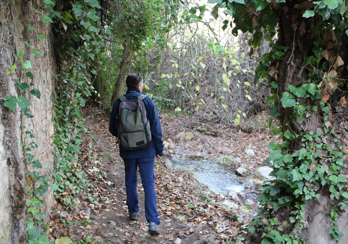
This simple circular route allows you to discover one of the most unique riverside enclaves in Andalucía. From the town centre of Arriate you can take a walk through the gallery forest that follows the Ventilla stream, most of which is located in the municipality of Arriate, although it shares some stretches with Ronda.
Area: Serranía de Ronda
Municipality: Arriate
Difficulty level: Low. Although in the first part of the route and at the halfway point there are slight ascents up to the giant bench of Arriate, the route is hardly physically demanding. However, it is possible to extend the path as far as the Ventilla bridge, which would make the walk more challenging.
Type of route: Circular
Approximate duration: 2 hours
Length: 4.7 kilometres approximately
Minimum altitude: 605 metres
Maximum altitude: 705 metres
Nearby places of interest: The church of San Juan de Letrán, the bridge and gorge of La Ventilla stream ('arroyo'), the fountains of Las Tejillas and Los Canolillos, the cave of El Druida, the Molino del Canto, the giant bench of Arriate, the viewpoint of La Estacá, the station promenade, two wineries (Vetas and Cortijo de los Aguilares) and the labyrinth of Arriate.
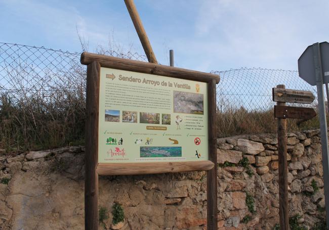
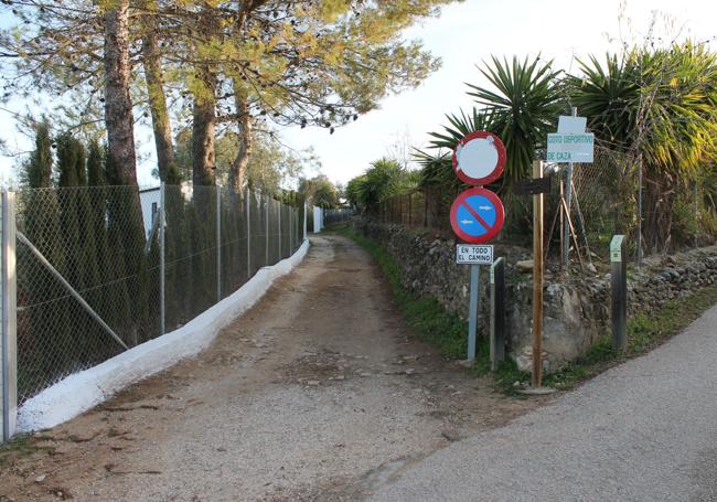
This route starts in Arriate town centre to enter the path alongside La Ventilla stream. The trail is well-signposted, starting at the junction of Calle Málaga and Calle del Prado, at one end of the town. It is advisable to leave your vehicle parked near the starting point, although it is a particularly good idea to leave it at one of the entrances to the town and stroll through its streets before and after the hike.
1Although there is a longer route, which goes as far as La Ventilla bridge, by then in Ronda territory, this one is among the most comfortable options for getting to know this unique waterside enclave. From the starting point, which is clearly signposted, this route begins to climb along the right bank La Ventilla stream. To be precise, the route begins next to the town's outdoor events space used for the annual feria and other fiestas and leads along the Panabarro path to the Molino Cantos path, from where you can already see the gorge. Along this easygoing walk, which sometimes has steep sections, you pass by the Molino Quemado, also known as Molino Verde (you decide if it is more 'burnt' or 'green').
2By now the path begins to approach the actual stream and slowly enters a surprising gallery forest, which is striking for its variety of tree species. After less than a kilometre, the path passes through the narrow gorge of La Ventilla stream, where you will find caves such as the Druid's cave. In this area you can see how the force of water from the stream has managed to erode large limestone rocks over the millennia to form a spectacular karst gorge. This limestone landscape has also given rise to caves, such as the one mentioned above, in which interesting fossil remains have been found.
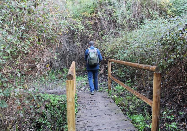
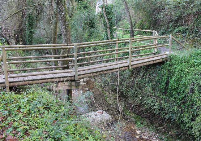
3A little over a kilometre from the start of the trail there is a wooden bridge that allows you to follow the official route from Arriate and start to return along the other bank. However, it is advisable to continue upriver a few more metres to see the beauty and ecological uniqueness of this place. If you persist in overcoming the difficulties of a narrow and sometimes very steep path, you will reach an impressive bridge, which will now mark the definitive return (first you will have to pass under the bridge of the A-367 road, with a noise that is sometimes annoying due to the continuous passing of vehicles overhead). This can also be done along the opposite bank of the river. In this way, the itinerary will be circular and not linear.
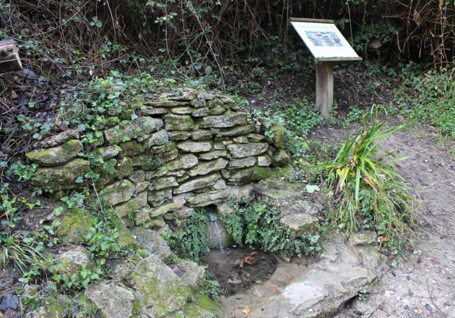
4This area is also of undoubted ethnographic interest. It is not in vain that the people of Arriate know this area as Molino Canto. Up until the last century water power was used to convert wheat into flour here. You can even still see a natural shelter used by the millers, Las Culebras cave. Also part of the landscape are the now abandoned lime kilns, once used to really whiten those façades off all the houses in Arriate. On the path that runs alongside the river you can also find old water sources - some have undergone rather drastic restoration such as the Cañolillos and Tejilla fountains.
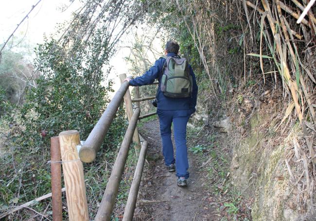
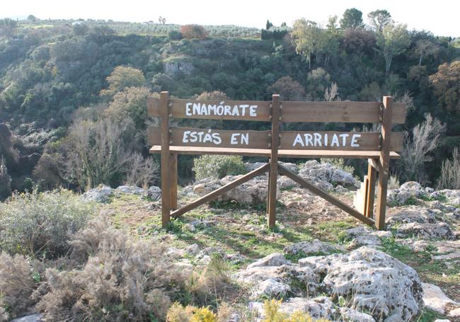
5The official trail can be extended after going up the Molino Cantos path to the giant bench of Arriate, which is worth the effort to reach to enjoy a spectacular view of both the gorge housing La Ventilla stream and the surrounding area. Afterwards, the route back to the town is resumed. Finally, you will have to return to Arriate, crossing several more wooden bridges and narrow pathways along the riverbank. You reach the town centre and, before returning to the trail start, it is advisable to take a short walk through the town. The tapas in its bars or the cold-cut and cured meats and other pork products made in its traditional factories are worthy attractions.
In addition to its unquestionable geological attraction, this location is also home to a biodiversity that, in some respects, surpasses that of some nature reserves in Andalucía. Suffice it to mention, by way of example, the nine species of ferns that can be found among its more than 400 different plants. Among them are the typical riverside and rock ferns, which are perfectly adapted to the existing limestone areas. As a result, you can see rushes, St. Anthony's grass, reeds, salicarias (purple loosestrife), poplar, ash, cottonwood, elm and willow in the area around the river, and then gall oak, holm oak, fig tree, more ferns and other very Mediterranean specimens on the perimeter of both banks.
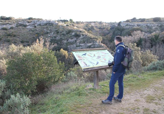
It is also a place inhabited by a rich fauna, with some species easy to spot if you approach with the recommended stealth. So far, more than 40 species of birds have been counted, including birds of prey (goshawk, eagle owl, tawny owl, little owl and barn owl) and riverine birds (wagtail, wren and kingfisher). More elusive are the mammals that inhabit this place, although it is not unusual to see foxes, mongoose, genets, hedgehogs and even otters.
Publicidad
Publicidad
Publicidad
Publicidad
Esta funcionalidad es exclusiva para suscriptores.
Reporta un error en esta noticia
Comentar es una ventaja exclusiva para registrados
¿Ya eres registrado?
Inicia sesiónNecesitas ser suscriptor para poder votar.