
Sections
Highlight

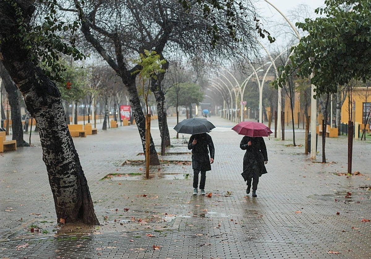
Will a new cold drop (famously known as 'dana') come to Malaga over the long weekend at the start of May? As with all 'danas', the prognosis is uncertain and difficult to predict due to the localised position of this weather phenomenon.
After a Holy Week that saw some ups and downs, locals are hoping that the good weather will persist over the upcoming long weekend; 1 May is a public holiday in Spain and many will be taking Friday off to create a 'bridge'.
However, on Friday, experts said that everything will depend on where the cold drop will end up.
Eltiempo.es's Mario Picazo said that "a dana might form, bringing rain to the whole country" this week. "There is maximum uncertainty in the forecasts and all scenarios are possible. We could have either a cold drop or a storm with rain, or complete stability and unusually high temperatures for this time of year."
José Luis Escudero from SUR's blog 'Tormentas y rayos' said: "At the moment, there is a lot of uncertainty regarding the position of the 'dana', which means that it may rain more in some areas of Andalucía and not at all in Malaga."
What does state meteorological agency Aemet say? Last week, it predicted a 90% probability of showers in Malaga for Wednesday - the day before the start of the long weekend. The risk then drops to 55% on 1 May. The western coast (especially Manilva and Estepona) is where Aemet predicts more rain.
"As of today, we cannot say whether it will rain over the long weekend in May. However, we can foresee several scenarios. Let us suppose that the 'dana' is located just to the west of the peninsula: from that position, instability would be almost generalised in Spain. Depending on how far it moves over the following days, rainfall could be more or less persistent," said Eltiempo.es.
According to another hypothetical scenario, Andalucía could expect more rain, if the cold drop moves further south, specifically to the southwest of the peninsula. If this scenario ends up taking over the forecast, then the maximum rainfall will occur in areas of southern Andalucía, Catalonia and Valencia. However, this possibility is, at present, very unlikely," said Eltiempo.es.
"Thirdly, the cold pocket could move over the interior of the Iberian Peninsula. In this case, instability would be more restricted. Maximums would occur in the northeast, as well as in the Pyrenees and parts of the Cantabrian coast. The Balearic Islands could also see intense storms. Finally - the scenario that is the least likely of all - if the 'dana' were located to the east of the country, instability would be restricted to areas of the Mediterranean coast and the north. The heaviest rainfall would occur in the Cantabrian Sea, in areas of the Balearic Islands and perhaps also in Catalonia." We will have to wait a few more days for a more accurate forecast.
Although the arrival of a new cold drop suggests the return of low temperatures, the Meteored portal stated that this time will be different. "The storm will not direct air masses of polar origin, nor will it initially approach so close that its cold core could affect us directly," it said.
"As long as it stays to the west, it will favour the arrival of air masses of subtropical origin, both maritime and continental, keeping temperatures at typical spring values, probably lower than at the beginning of the week in the case of daytime values and somewhat warmer at night, decreasing the daily thermal oscillation. Due to the origin of the winds, the arrival of suspended dust from the Sahara cannot be ruled out."
Publicidad
Publicidad
Publicidad
Publicidad
Esta funcionalidad es exclusiva para registrados.
Reporta un error en esta noticia

Debido a un error no hemos podido dar de alta tu suscripción.
Por favor, ponte en contacto con Atención al Cliente.

¡Bienvenido a SURINENGLISH!

Tu suscripción con Google se ha realizado correctamente, pero ya tenías otra suscripción activa en SURINENGLISH.
Déjanos tus datos y nos pondremos en contacto contigo para analizar tu caso

¡Tu suscripción con Google se ha realizado correctamente!
La compra se ha asociado al siguiente email
Comentar es una ventaja exclusiva para registrados
¿Ya eres registrado?
Inicia sesiónNecesitas ser suscriptor para poder votar.