
Sections
Highlight

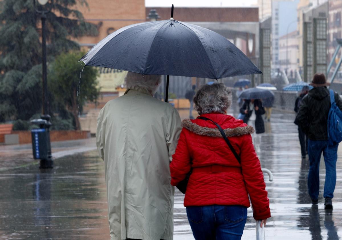
Holidaymakers and locals on the Costa del Sol enjoyed the weekend's long-awaited spring weather with the beaches, terraces and promenades packed to the rafters. There was a desire to get the most from the spell of sunshine after the succession of storms that have been recently unleashed with some force on Malaga province. However, according to the forecast from Spain's state meteorological agency (Aemet), this stability could have its days numbered. Although it is a difficult situation to model, Aemet raises the probability of more rain from Wednesday onwards to 80%, with Friday being the day when there is most likely to be a chance of having to open the umbrellas again.
The specialised weather portal Meteored also warns that the situation could change on Wednesday. "According to our maps, most of the scenarios show that between that day and Thursday the Omega blockade could be broken as the retrograde trough in the Mediterranean and a storm in the Atlantic open up, with precipitation that could affect the east of the manland and the Balearic Islands on Wednesday, moving to the north and the Atlantic slope on Thursday", said Samuel Biener, researcher and disseminator of climatology and editor at Meteored.
From Thursday onwards - according to this expert - the situation is less clear, "but the weather models show that the trough could reorganise itself again, moving up over mainland Spain and the Balearic Islands or over the western Mediterranean", he said. And he added: "If this happens, most of Spain would be in no man's land, with instability not very pronounced in general and localised to certain areas. However, the dispersion is enormous, and there are other scenarios that suggest that a low pressure system will approach the west of the Spanish mainland, so that rainfall would affect more regions, breaking the Omega blockade again".
Therefore there is a lot of uncertainty, with a complex forecast that will become clearer as the week progresses. "This succession of ridges and troughs is a very common occurrence in spring, and it precisely this dynamism that makes it very difficult to make reliable long-term forecasts," Biener explained.
Once the anticyclone has passed, the weather could destabilise again and bring new episodes of precipitation to Malaga. However, it will not be heavy rain but rather sporadic spring showers limited to certain areas. In addition, temperatures - as forceast by Aemet - will tend to fall from the middle of the week onwards, with minimum temperatures hovering between 11 and 15C and maximums of 20-21 degrees.
Publicidad
Publicidad
Publicidad
Publicidad
Esta funcionalidad es exclusiva para registrados.
Reporta un error en esta noticia

Debido a un error no hemos podido dar de alta tu suscripción.
Por favor, ponte en contacto con Atención al Cliente.

¡Bienvenido a SURINENGLISH!

Tu suscripción con Google se ha realizado correctamente, pero ya tenías otra suscripción activa en SURINENGLISH.
Déjanos tus datos y nos pondremos en contacto contigo para analizar tu caso

¡Tu suscripción con Google se ha realizado correctamente!
La compra se ha asociado al siguiente email
Comentar es una ventaja exclusiva para registrados
¿Ya eres registrado?
Inicia sesiónNecesitas ser suscriptor para poder votar.