Sections
Highlight
Sections
Highlight

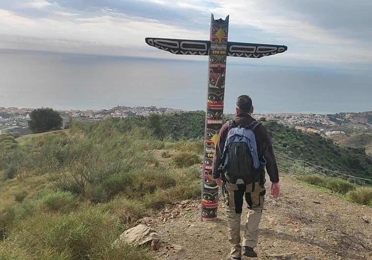
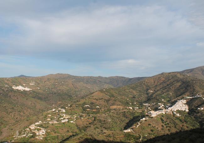
This hiking route climbs from the village of Totalán in the Axarquía on the eastern side of Malaga province up the Salazar hill and offers wide panoramic views of the city and Rincón de la Victoria as well as many places in the mountains and inland areas of the Axarquía.
Area: Axarquía
Municipality: Totalán
Difficulty level: Medium. The first part of this route is quite steep, although the most difficult part is the orientation after leaving the wide lanes and taking narrow paths. It is essential to carry a map or an application on your mobile phone (Wikiloc type).
Type of route: Circular
Approximate duration: 3 hours
Length: 7.9 kilometres
Minimum altitude: 172 metres
Maximum altitude: 508 metres
Nearby places of interest: Cerro Salazar and totem with bell, Salazar tower, Albendas torréon, Cerro de la Capitana hill, replica of the Violin tower and Zagal viewpoint, Santa Ana church and Cerro Corona dolmen.
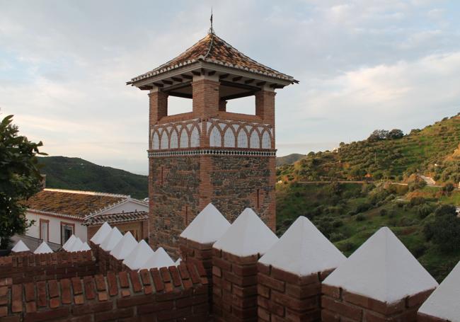
To begin this route, head for the village of Totalán in the Axarquía. You can get there from the MA-3202 road, which is accessed from the A-7 motorway (at the turn-off for this village as well as for La Cala del Moral or Rincón de la Victoria shopping centre). Once you reach the village, it is advisable to park at the entrance to the village, then walk to the square in front of the Santa Ana church , where you can begin this route.
1From Santa Ana church you have to cross the centre of Totalán looking for Avenida de Andalucía. This road is taken just after passing the replica of the Violín tower and the Zagal viewpoint. After less than half a kilometre from the start, you leave the village behind you, and at the same time make a very steep descent along a concrete track that leads to the Totalán stream. Once you reach the stream, which is normally dry, you walk along it (to the right) either along the stream itself or along its banks.
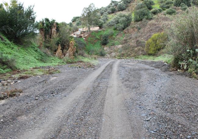
2After walking some 400 metres along the Totalán riverbed, you will have to keep an eye out for a track on the left that takes you almost 180 degrees to the stream. You will then start to climb along a wide dirt track that has a zigzagging section which serves to ease the first of the important climbs on this path. After this zigzag there is a fork in two paths, where you will have to take the left-hand one, which is concreted, to continue the ascent. Continue along this path for about 300 metres. Then keep an eye out for a very narrow, ascending path on the left. This is the beginning of one of the most demanding sections, both physically and in terms of orientation.
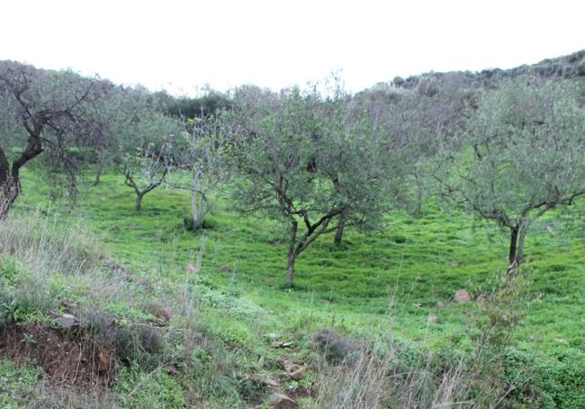
3Through the narrow path you climb some 400 metres in a south-easterly direction, between olive and almond trees, along a path that is not very well signposted, but which you can make out if you pay close attention. If not, it is a good idea to consult paper or digital maps. Then you reach a wider track. Turn left at first, but after a hundred metres or so you will have to change direction completely to the right. This wide lane will take you around the northern slope of the Salazar hill. Behind you there is a beautiful view of Olías and Totalán. Then you gradually head south-west until you reach a point where you can see the coast. First, the coast of Malaga and then that of La Cala del Moral and Rincón de la Victoria. This gives you a glimpse of the Salazar hill to the left. This is the moment to tackle another demanding climb along a straight and steep path that ends at the geodesic vertex.
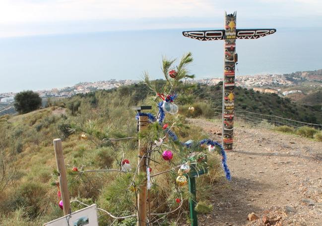
4In addition to spectacular views of the coast and many inland parts of the Axarquía or the Montes de Málaga, there are two very curious features that have only been there for a few years. On the one hand, a totem pole (it is not known who put it there) with a bell. It is said that it brings luck to ring it when you arrive. On the other, a small pine tree planted by Rincón athletics club. Voluntarily, those who come there from a path in La Cala decorate it as a Christmas tree.
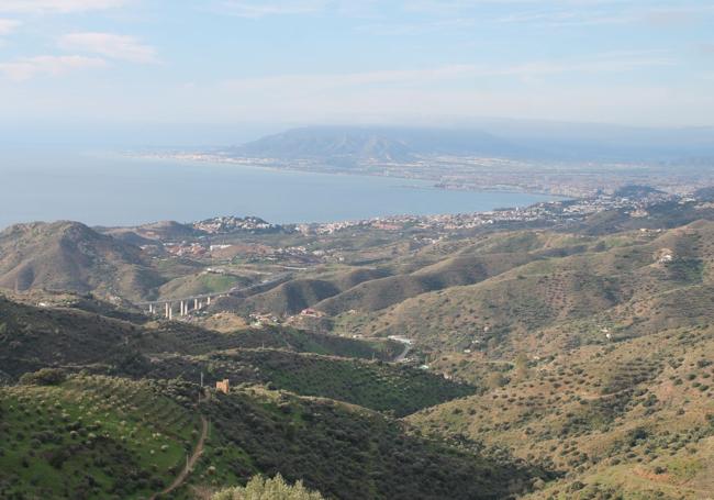
5After enjoying the panoramic views that range from the Bay of Malaga to the peaks of Sierra Tejeda or Santo Pítar, among many other enclaves, you have to follow the path. Although you can return along the same path, it is advisable to continue ascending slightly along a more comfortable route, which forms part of the route of the Desafío La Capitana, an annual competition organised by Rincón Athletics Club. For one kilometre it coincides with the path used for this demanding sporting event, but after that it is necessary to turn off to the left onto a clearly descending path that heads towards the Totalán stream. This coincides with a section of the local path that links Totalán with Moclinejo.
6After two kilometres of descent you reach the Totalán stream, although at a point that is higher up than where you started out. You will therefore have to go down the stream (about 300 metres) until you reach the concrete path with a fairly steep slope that leads back to the centre of Totalán. After the walk reward yourself with a gentle stroll around Totalán and see if you can find Totalín, a friendly chameleon that presides over the entrance to the village, as its mascot.
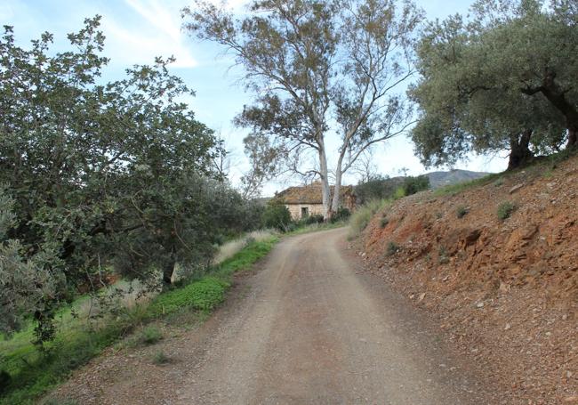
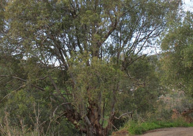
Hiking this route you will pass by Mediterranean trees such as almond, olive and carob trees. You will also be able to see wild olive trees and even some holm oaks or large eucalyptus trees. Other species of interest are thyme, lavender, hawthorn and asparagus. You will also see vineyards and some orchards with both citrus and subtropical trees. In terms of animals, as well as some birds of prey, wild boars have been seen in the area which come from the Los Montes de Málaga nature reserve. However, it will be very difficult to see them on this route.
Publicidad
Publicidad
Publicidad
Publicidad
Esta funcionalidad es exclusiva para suscriptores.
Reporta un error en esta noticia
Comentar es una ventaja exclusiva para registrados
¿Ya eres registrado?
Inicia sesiónNecesitas ser suscriptor para poder votar.