
Sections
Highlight

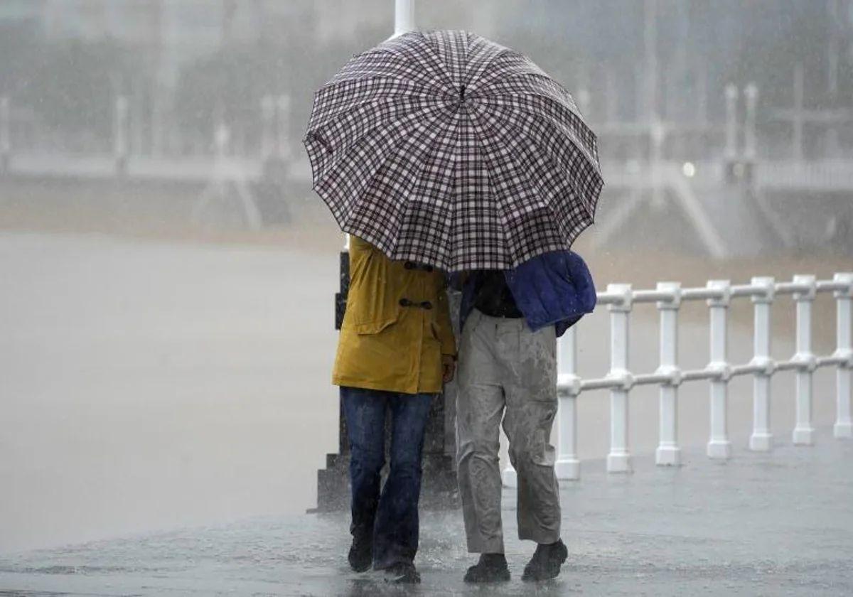
Goodbye Garoé... Hello new weather fronts! This Wednesday, 2 January, the Andalucía region will bid farewell to a «high impact» storm which has left 126 incidents mainly in the provinces of Huelva and Seville, although it has also occasionally reached Cadiz and Cordoba. The forecast of heavy rainfall has forced the activation of amber level (high risk) alerts that will be lowered from tomorrow. However, the forecast is not improving. The latest warning from Spain's state meteorological agency (Aemet) is clear: by the end of the week the rains could spread throughout the region, although it points out that they should not be as heavy as those recorded by Garoé.
"Looking ahead to Friday and the weekend, new Atlantic fronts associated with new storms could arrive," said Aemet spokesperson Rubén del Campo. Among them, one that already has its own name, christened in the United Kingdom: Éowyn. These fronts "will sweep the Spanish mainland from west to east with precipitation" in the coming days. And Malaga province will not be left out. At the moment, Aemet has set the probability of downpours in the capital of the Costa del Sol at 80% from midday on Saturday. In inland areas such as Ronda, this percentage rises to 100% throughout the day. Cloudy skies are expected across the province and possible thunderstorms are not ruled out.
In Andalucía, Aemet expects "cloudy skies increasing to overcast, with weak to moderate rainfall that will spread from west to east, unlikely on the Mediterranean slope".
"The Atlantic is going to present intense cyclonic activity in the second part of the week, so new fronts will leave more precipitation in several regions," said the Meteored portal. "A very intense polar jet with a marked contrast between polar and subtropical air masses will help to produce several explosive cyclogenesis in the following days," added the weather expert Samuel Biener.
But rain will not be the only feature of the final stretch of the week. The distribution of storm and anticyclones in the northern hemisphere will give rise to an advection of subtropical air over the Spanish mainland. "This will result in warmer weather than usual for the season, with highs above 20C in the south and in the Mediterranean regions," Meteored reports.
Daytime temperatures could become unseasonable in some regions, due to a combination of the orography and westerly winds. In Malaga, Aemet forecasts minimum temperatures of 12C and maximums of 19-20 degrees from today, when they could even exceed 21C.
Publicidad
Publicidad
Publicidad
Publicidad
Esta funcionalidad es exclusiva para suscriptores.
Reporta un error en esta noticia
Comentar es una ventaja exclusiva para registrados
¿Ya eres registrado?
Inicia sesiónNecesitas ser suscriptor para poder votar.