Weather
Sections
Highlight
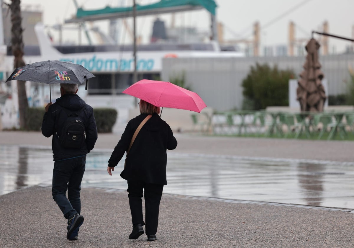
Storm Konrad is leaving, say hello to Laurence. As the director of the Aemet state weather centre in Malaga, Jesús Riesco, reminds us, "the door has been opened to storms in our latitudes", and they are already crossing Spain, like a train, one after the other. Some are minor, but others, such as the two mentioned above and the previous one, Jana, are classified as "high impact", which means that they will bring rain, wind and significant sea storms to the province.
Storm Konrad departed on Friday and gave way to stability, lightly cloudy skies and rising temperatures over the weekend, with 'terral' wind in the municipalities where the warm westerlies usually make their presence felt. But it was only a brief hiatus.
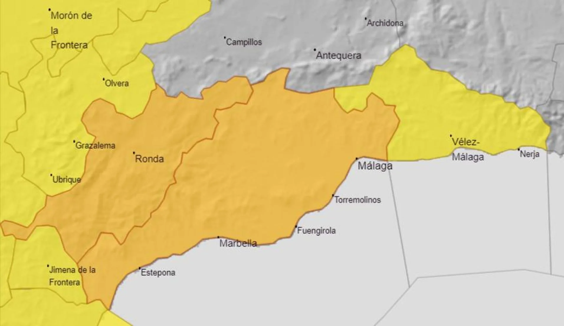
From this Monday (17 March) onwards it will be Laurence's turn to sweep across the province carrying buckets of water. The weather models predict that during the day the rainfall will intensify, at the same level as Konrad left the previous week, i.e. some 40-50mm in some places, and 20 to 30mm in general. In fact, Aemet has activated the amber 'risk' warning for this Monday and Tuesday in much of Malaga province. The Ronda, western Costa deSol, Malaga city and Guadalhorce valley areas will be affected by the yellow warning between 6am and 6pm due to the forecast of rainfall of up to 60mm in twelve hours. After this time, the alert is raised to amber due to a forecast of 80mm in twelve hours, while from 6am until the end of the day there is a warning for rainfall of up to 25mm in one hour.
Wednesday and Thursday will be "transition days", in which no rain is expected, apart from the odd isolated shower. But Aemet warns that the current wet spell is not over yet.
Although things can change, the forecast models predict the probable arrival of another Atlantic storm the final stretch of the week, with rains that will affect Malaga province especially during the day on Friday.
As for the temperatures, they will be clearly rising over the next few days: if today they will start with highs of 17C, by the end of the week they will be around 22, and with equally mild lows, around 15C.
José Luis Escudero, Malaga weather expert and head of the SUR blog Tormentas y Rayos (storms and lightning), agrees with the Aemet forecasts. "This Monday a front from the new storm Laurence will pass through, which will last until Tuesday. Then, on Wednesday and Thursday we will have a rest from the rain, but on Friday another storm will come in, which will leave rain again". In addition, with some caution given the timespan, this expert said that it is possible that storms may continue to move in over the following week.
Aemet also corroborates this possibility: "Although the uncertainty in the forecast increases notably as we look further ahead, with the information currently available it could continue to rain in large areas of Spain during the next three weeks," it said on its accounts on social media networks.
For the moment, there have been 16 consecutive days of precipitation, of varying intensity, in the province since 28 February.
It is therefore not surprising that the Aemet rain gauge at Malaga Airport, which is the official reference for statistical purposes, has so far collected more than 180mm. This figure is three times the historical average for March (around 60mm), even though the second half of the month is still to come. And, as we have seen, the period from 17 to 23 March will once again be "wetter than normal".
At the provincial level, there are numerous references throughout the province that illustrate this extraordinarily wet period. With official data, the Junta de Andalucía's Hidrosur network has recorded up to 394mm in Pujerra; 363 in Los Reales de Sierra Bermeja; 356 in Cortes de la Frontera; 333 in Ojén; 335 in the river Grande (Las Millanas) and 313 in the Guadiaro. But also a not inconsiderable 105mm at the Paseo de la Farola in Malaga city, the headquarters of Hidrosur.
Other unofficial sources, such as the Acamet network of weather enthusiasts, which also offer reliable records, show that in this period of just over two weeks more than 450mm have fallen in El Juanar; 432 in Pilones (Sierra de las Nieves); 420 in Cañete la Real and 410 in El Burgo.
Publicidad
Publicidad
Publicidad
Publicidad
Esta funcionalidad es exclusiva para registrados.
Reporta un error en esta noticia

Debido a un error no hemos podido dar de alta tu suscripción.
Por favor, ponte en contacto con Atención al Cliente.
¡Bienvenido a SURINENGLISH!
Tu suscripción con Google se ha realizado correctamente, pero ya tenías otra suscripción activa en SURINENGLISH.
Déjanos tus datos y nos pondremos en contacto contigo para analizar tu caso
¡Tu suscripción con Google se ha realizado correctamente!
La compra se ha asociado al siguiente email

Comentar es una ventaja exclusiva para registrados
¿Ya eres registrado?
Inicia sesiónNecesitas ser suscriptor para poder votar.