
Sections
Highlight

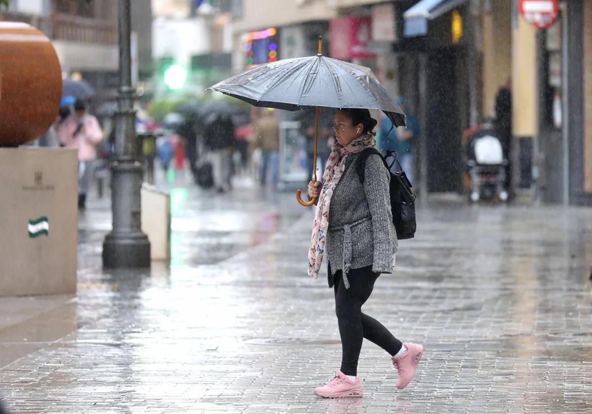
It has already been christened with a name and it is Nuria. The fourteenth storm of great impact of the season will arrive this Thursday in Andalucía, which will be one of the regions of Spain most affected by this new episode of weather instability. For now, the state meteorological agency (Aemet) has activated yellow warnings in three provinces: Cadiz, Huelva and Seville. In the former, maximum gusts of 70 km/h of south-westerly winds are expected until 6pm on Friday and strong winds will also blow along the coast of Huelva. The highest accumulations of rainfall are expected in Aracena and Sierra Norte de Sevilla, where Aemet forecasts 15mm in one hour and showers accompanied by thunderstorms also until the afternoon of 4 April.
Nuria will show its worst side in the region between Thursday and Friday. As an appetiser, Aemet announces for tomorrow "very cloudy or overcast skies accompanied by light to moderate rainfall, more intense and likely during the first half of the day". The wind will also play a leading role, from the south in the western half of the region, "increasing in the late afternoon with strong intervals on the Atlantic coast and moderate easterly on the eastern Mediterranean coast".
It will be between Thursday and Friday when this new storm will unleash its full impact on the Spanish mainland, while also affecting the Canary Islands. "It will be located off the coast of Portugal and will give rise to a situation of great atmospheric instability, generating very active fronts and bands of heavy rain, as well as strong south-westerly winds. We will once again experience an episode similar to some of those we had in March," explained Aemet spokesperson Rubén Del Campo.
"Tomorrow, Thursday, the heaviest rains will come from a front that will move across the centre and inland areas of the east of the peninsula. There will be heavy showers of both rain and hail. In the western and central part of Andalucía, as well as in the surroundings of the Central System and the Alto Tajo is where we expect the highest accumulations", said the expert José Miguel Viñas at the specialised weather portal Meteored.
On Friday, forecasters expect another rainy day across most of the Spanish mainland, with strong winds from the west and south, which will make the weather unpleasant in most regions. "It will rain heavily in the southwest of the country, west of Galicia and on the southern slopes of the Central System," Meteored reports. In Andalucía, Aemet forecasts "very cloudy skies with moderate rainfall, without ruling out locally heavy and occasionally accompanied by storms, less likely in the far east and occasionally very strong gusts from the south in the western half".
What will happen over the weekend? According to the experts, instability will decrease on Saturday, although there will still be precipitation in the early morning, especially in the northern third and in mountainous areas of the rest of the mainland, which will persist more in the Pyrenees and the Central System. This could be a transition day, given that, as Del Campo warns, from Sunday onwards there will be much more uncertainty. On that day, new showers could be registered in Andalucía in areas of the southwest. Temperatures will start to rise, which could continue into the second week of April.
"The rains will not completely abate over the weekend, but they will cease to be widespread. Winds will also ease, as storm Nuria fades away. Saturday will still be a rainy day in Galicia and precipitation will spread to other areas in the far north of the mainland, with large clearings opening up in the rest of the country. The atmosphere will be colder in the inland areas of the country," Meteored said. It added: "On Sunday, atmospheric stability will dominate, although a front will arrive from the Atlantic to Spain that will distribute rain mainly in the afternoon in the southwest of the country, extending to other areas of the southern half. The skies will gradually clear as this front passes, as a foretaste of the sunny atmosphere with which next week is expected to begin, which will be accompanied by a rise in temperatures", it concluded.
Publicidad
Publicidad
Publicidad
Publicidad
Esta funcionalidad es exclusiva para registrados.
Reporta un error en esta noticia

Debido a un error no hemos podido dar de alta tu suscripción.
Por favor, ponte en contacto con Atención al Cliente.

¡Bienvenido a SURINENGLISH!

Tu suscripción con Google se ha realizado correctamente, pero ya tenías otra suscripción activa en SURINENGLISH.
Déjanos tus datos y nos pondremos en contacto contigo para analizar tu caso

¡Tu suscripción con Google se ha realizado correctamente!
La compra se ha asociado al siguiente email
Comentar es una ventaja exclusiva para registrados
¿Ya eres registrado?
Inicia sesiónNecesitas ser suscriptor para poder votar.