Weather
Sections
Highlight
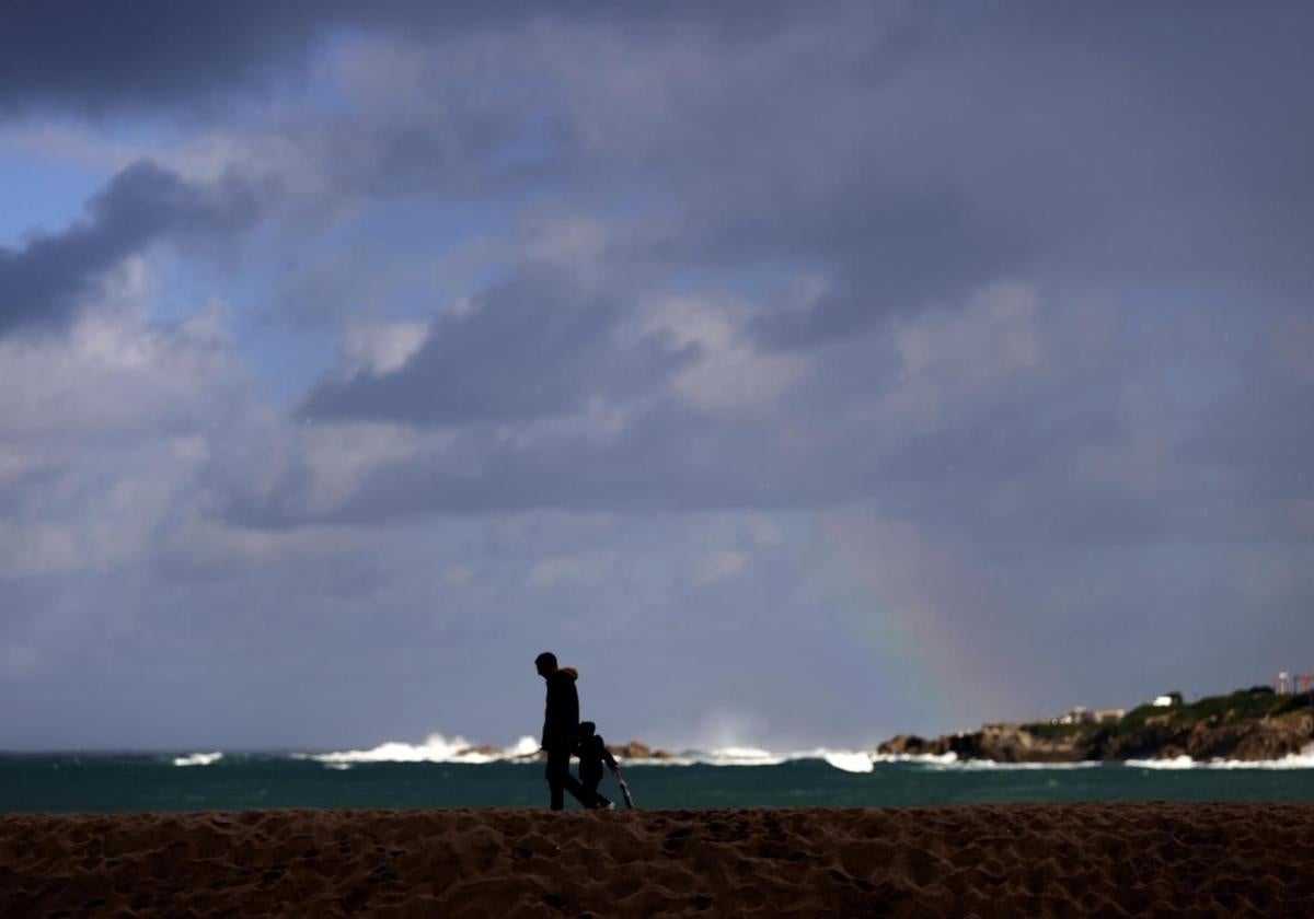
There is a new storm in sight and it has a name of its own. It has been christened Herminia and it is forming in the Atlantic. and we'd better watch out for it! As the weather experts warn, unlike Eowyn, it will affect Spain "in a more generalised and forceful way". "The low has undergone a process of explosive cyclogenesis, its radius of action is very large and the associated fronts will leave their mark on our country," warned the specialised portal Meteored and Andalucía will not escape its effect. At the moment, Spain's state meteorological agency (Aemet) has activated yellow level (risk) warnings in six provinces of the region. In addition, in Almeria the warning will be upgraded to amber from 9am on Monday (27 January) due to maximum gusts of 90 kilometres per hour and winds from the west and south-east on the coast with force 7 to 8 and waves of 3 to 4 metres.
"Herminia is the eighth storm of the season in the southwest group and has been named by Aemet. It will bring strong gusts of wind to most of the Spanish mainland and in Andalucía the most affected areas will be Granada and Almeria," highlighted José Luis Escudero in his SUR blog 'Tormentas y Rayos' (storms and lightning). Aemet has also issued weather warnings for Malaga, Seville, Jaen and Cordoba provinces. For now, only Huelva and Cadiz have escaped the alerts - for wind and coastal phenomena - which will be in force between 9am and 9pm in most cases on Monday. Westerly and south-westerly winds of 50 to 60 km/h (force 7) and waves of 2 to 3 metres are expected. The gusts in some areas could reach 90 km/h according to Aemet.
25/01 11:36 #AEMET adelanta #FMA en Andalucía. Activos PASADO MAÑANA. Nivel máx naranja. Imagen del mapa de avisos en vigor a las 11:36 Para ver una tabla de avisos actualizada haga CLIC EN LA IMAGEN o visite https://t.co/PkHdwMmWPj https://t.co/wBSQng8ff1
— AEMET_Andalucía (@AEMET_Andalucia) January 25, 2025
And all this on a day marked by rain in which the state agency forecasts for Andalucá a "very cloudy or overcast skies accompanied by weak to moderate rainfall that will spread from west to east throughout the day, unlikely in the far east". Locally heavy showers are not ruled out in the Betic mountain ranges.
Minimum temperatures will rise in the eastern third of the country, as will maximum temperatures. In Malaga, for example, it could reach 23C, an unseasonably warm spring-like level, while the minimum forecast - according to Aemet - will be 16 degrees.
Publicidad
Publicidad
Publicidad
Publicidad
Esta funcionalidad es exclusiva para registrados.
Reporta un error en esta noticia

Debido a un error no hemos podido dar de alta tu suscripción.
Por favor, ponte en contacto con Atención al Cliente.
¡Bienvenido a SURINENGLISH!
Tu suscripción con Google se ha realizado correctamente, pero ya tenías otra suscripción activa en SURINENGLISH.
Déjanos tus datos y nos pondremos en contacto contigo para analizar tu caso
¡Tu suscripción con Google se ha realizado correctamente!
La compra se ha asociado al siguiente email

Comentar es una ventaja exclusiva para registrados
¿Ya eres registrado?
Inicia sesiónNecesitas ser suscriptor para poder votar.