Weather
Sections
Highlight
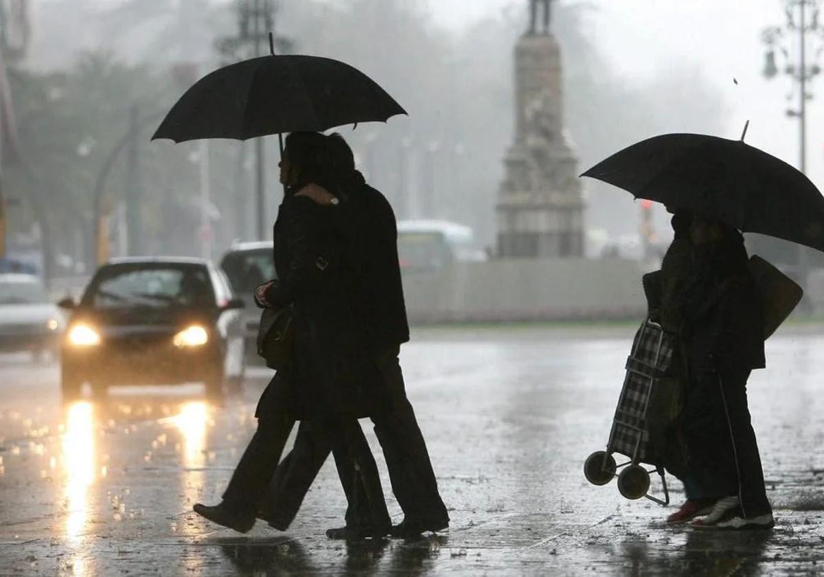
There is a new week of unsettled weather on its way in the Andalucía region of the south of Spain. This Monday, the approach of an area of low pressure on the surface and a high-level depression from the Atlantic will leave more rain in Spain, initially concentrated in the northern third of the Spanish mainland. As weather portal Meteored have explained, the anticyclonic blockade in high latitudes will persist throughout the week, which will favour the arrival of several Atlantic lows that will leave new rains and snowfalls, and even some storms, in their wake. "Between tomorrow and Thursday a small cold storm will cross the mainland, bringing with it precipitation that will advance from west to east. This Tuesday the storms could be locally heavy and stormy in points of the Atlantic slope and in the surroundings of the Strait of Gibraltar", the weather web site experts added.
Andalucía will not escape this scenario, marked by instability. Therefore, from midday onwards - and especially from 6pm - the state meteorological agency (Aemet) forecasts a high probability of rain showers in most Andalusian municipalities. The highest likelihood will be in inland areas of Seville, Cordoba and Jaen as well as the coast of Cadiz. Only Almeria province will be spared from having to reach for the umbrellas.
At the moment, Aemet warns of "rainfall that may be locally heavy on the coast of the Gulf of Cadiz during the second half of the day. Skies with cloudy intervals, increasing to very cloudy or overcast during the day in the west, with generalised weak to moderate rainfall in the western half, which may be locally heavy on the coast of the Gulf of Cadiz and the Strait of Gibraltar". In addition, temperatures are expected to rise, with highs of up to 21C degrees in Seville and 20 degrees in Granada and Cordoba. All Andalusian provinces will record temperatures above 18C, while minimum temperatures will also be high, with a peak of 13 degrees in Cadiz province.
On Wednesday the weather will continue to be unstable. Aemet has activated yellow warnings for now in Almeria and Granada for coastal phenomena. In both cases, the warning will be in force between 2pm and 10pm for westerly winds with intervals of 50 to 60 km/h (force 7) with waves of 2 to 3 metres.
On that day, the probability of showers drops considerably to below 45% from 12 noon onwards, except in places like Cazorla where it could rain until the afternoon. For Wednesday, Aemet forecasts "cloudy skies with showers on the Atlantic side and the western Mediterranean coast, unlikely and heavy in the rest". Minimum temperatures will rise and maximum temperatures will fall inland.
Publicidad
Publicidad
Publicidad
Publicidad
Esta funcionalidad es exclusiva para registrados.
Reporta un error en esta noticia

Debido a un error no hemos podido dar de alta tu suscripción.
Por favor, ponte en contacto con Atención al Cliente.
¡Bienvenido a SURINENGLISH!
Tu suscripción con Google se ha realizado correctamente, pero ya tenías otra suscripción activa en SURINENGLISH.
Déjanos tus datos y nos pondremos en contacto contigo para analizar tu caso
¡Tu suscripción con Google se ha realizado correctamente!
La compra se ha asociado al siguiente email


Comentar es una ventaja exclusiva para registrados
¿Ya eres registrado?
Inicia sesiónNecesitas ser suscriptor para poder votar.