Weather forecast
Sections
Highlight
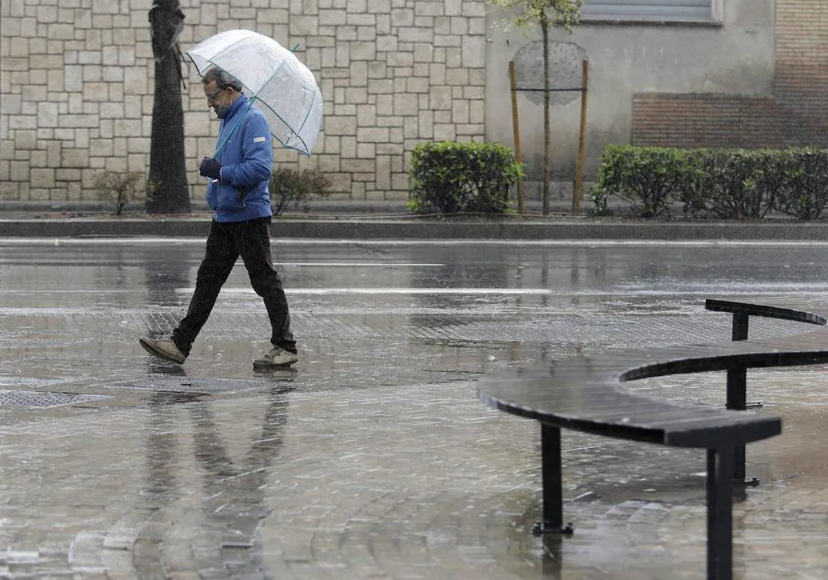
With autumn on the horizon the weather in the south of Spain has turned. The approach of a new 'dana' to the south of the Spanish mainland will bring an increase in weather instability this week in Andalucía, where localised heavy rainfall and thunderstorms are not ruled out, according to state meteorological agency (Aemet).
According to the forecast, the arrival on Tuesday of a 'dana' (isolated high level depression) will be responsible for an increase in cloudiness and it is possible that locally heavy downpours and thunderstorms may occur during the afternoon and evening in the south of Andalucía.
According to Aemet, "Cloud will also increase in the rest of the southern half of the country with light cloud in the rest of the mainland. In the Canary Islands, there will be cloudy intervals in the north of the islands, with the possibility of some weak rain in the more mountainous areas". Morning fog is not ruled out in the south of Galicia and west of the northern plateau, as well as a "'calima' (Saharan dust in suspension in the atmosphere) in the southeast of the mainland and Melilla".
As for temperatures, "maximum temperatures will increase on the Atlantic side, with slight drops on the Mediterranean coast of the mainland and on the eastern Cantabrian coast", Aemet said. Winds will be from the southwest on the coast of Galicia, and from the east in the southern half of the Mediterranean area. Winds will be light and variable in the rest of the country.
Looking ahead to Wednesday , there is still a wide margin of uncertainty, although Aemet forecasts "it is likely that the 'dana' will move in a northeasterly direction, leaving abundant precipitation, which may be locally heavy and persistent and accompanied by storms, in the Mediterranean area of Andalucía, in Murcia and the south of the Valencia region". With less probability, occasional showers and thunderstorms could be recorded in the rest of Andalucía, south and east of Castilla-La Mancha, south of Aragon, Catalonia and the Balearic Islands, while in the rest of the mainland skies will be partly cloudy, "except in Galicia and Asturias, where the approach of a front will cause an increase in cloudiness at the end of the day, with probable rainfall". Maximum temperatures will increase in most of the northern third and decrease in the southern half of the mainland, the north of the Valencia region, the south of Catalonia and the Balearic Islands.
From Thursday Aemet expects the 'dana' to weaken and move to the east of the Balearic Islands, where it is likely "to cause showers and thunderstorms, and with less probability, some rainfall in coastal areas of Catalonia". On the other hand, an Atlantic front will leave cloudy skies and rainfall in the northwest half of the country which may be abundant and heavy in the west of Galicia.
Publicidad
Publicidad
Publicidad
Publicidad
Esta funcionalidad es exclusiva para registrados.
Reporta un error en esta noticia

Debido a un error no hemos podido dar de alta tu suscripción.
Por favor, ponte en contacto con Atención al Cliente.
¡Bienvenido a SURINENGLISH!
Tu suscripción con Google se ha realizado correctamente, pero ya tenías otra suscripción activa en SURINENGLISH.
Déjanos tus datos y nos pondremos en contacto contigo para analizar tu caso
¡Tu suscripción con Google se ha realizado correctamente!
La compra se ha asociado al siguiente email


Comentar es una ventaja exclusiva para registrados
¿Ya eres registrado?
Inicia sesiónNecesitas ser suscriptor para poder votar.